On Shapefiles and PostGIS

By Josh Tolley
April 2, 2022
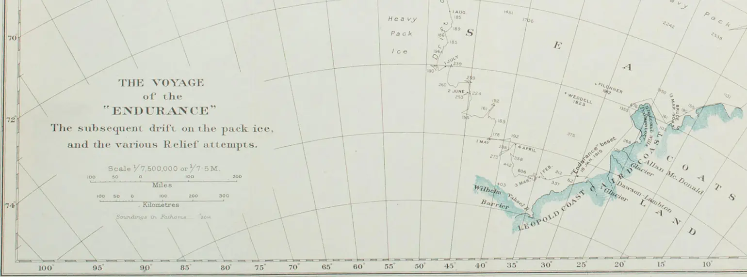 Partial map of the voyage of the Endurance, from “South”, by Ernest Shackleton
The shapefile format is commonly used in geospatial vector data interchange, but as it’s managed by a commercial entity, Esri, and as GIS is a fairly specialized field, and perhaps because the format specification is only “mostly open”, these files can sometimes be confusing to the newcomer. Perhaps these notes can help clarify things.
Though the name “shapefile” would suggest a single file in filesystem parlance, a shapefile requires at least three different files, including filename extensions .shp, .shx, and .dbf, stored in the same directory, and the term “shapefile” often refers to that directory, or to an archive such as a zipfile or tarball containing that directory.
QGIS
QGIS is an open-source package to create, view, and process GIS data. One good first step with any shapefile, or indeed any GIS data, is often to take a look at it. Simply tell QGIS to open the shapefile directory. It may help to add other layers, such as one of the world map layers QGIS provides by default, to see the shapefile data in context.
GDAL
Though QGIS can convert between GIS formats itself, I prefer working in a command-line environment. The GDAL software suite aims to translate GIS data between many available formats, including shapefiles. I most commonly use its ogr2ogr command-line utility, along with the excellent accompanying manpage.
In short, a typical ogr2ogr command tells the utility where to find the input data and where to put the converted output, optionally with various reformatting and processing options. You’ll find some examples below.
PostGIS
Much of our (ok, my) GIS work has involved PostGIS, an extension to the PostgreSQL database for handling GIS data. It’s been convenient for me to process GIS data using the same language and tools I use to process other data. It uses GDAL’s libraries internally.
Examples
Import Shapefile data into PostGIS
The example below comes from a customer’s project we recently worked on. They provided us a set of several shapefiles, which I first arranged in a directory structure. This code imports each of them into a PostGIS database, in the shapefiles schema.
The other arguments to ogr2ogr specify the output format (“PostgreSQL”), the destination database name, and the directory which stores the shapefile. ogr2ogr expects the destination and source arguments in that order, as two positional arguments, so here the destination is PG:dbname=destdb, and the source file name comes from the the $i script variable.
for i in `find . -name "*shp"`; do
    j=$(basename $i)
    k=${j/.shp/}
    ogr2ogr -f PostgreSQL -nln shapefiles.${k} PG:dbname=destdb $i
done
Export PostGIS data as KML
This example creates a KML file from PostGIS query results. The arguments provide the query to use to fetch the data, the output format (“KML”), the output file name, and the source database. This will create a KML file containing a set of unstyled placemarks, with names from the property_code column, and geometry data from the outline_geom column in the properties table of our database.
In this project, outline_geom contained GIS “linestrings”, data types consisting of a series of lines, which ogr2ogr translated into KML polygons. Had outline_geom contained points, for instance, the KML result would also have been points. In other words, ogr2ogr automatically chooses the correct KML object type based on the GIS object type in the input data.
ogr2ogr -sql "select property_code, outline_geom from properties" -f KML outlines.kml PG:dbname=propertiesNote that though the examples above use PostGIS, ogr2ogr can take shapefile input and produce KML output directly without the PostGIS intermediary. We used PostGIS in these cases for other purposes, such as to filter the output and limit the attributes stored in the KML result.
By default, ogr2ogr puts all the attributes from the shapefile into ExtendedData elements in the KML, but in our case we didn’t want those. We also didn’t want all the entries in the shapefile in our resulting KML. To skip the PostGIS step, we might do something like this:
ogr2ogr -f kml output.kml shapefile_directory/What tools do you use for shapefile processing? Please let us know!
tips open-source tools gis maps postgres kml
Comments