Auburn University and VisionPort: How the World Gets Its Water

The IBT Water Project at Auburn University, headed by Associate Professor P.L. Chaney, has done outstanding work illustrating in a GIS format how cities around the world get their water. The Geoscience department has mapped how water is captured and distributed in Australia, Egypt, India, Mexico, Kazakhstan, and the western USA.
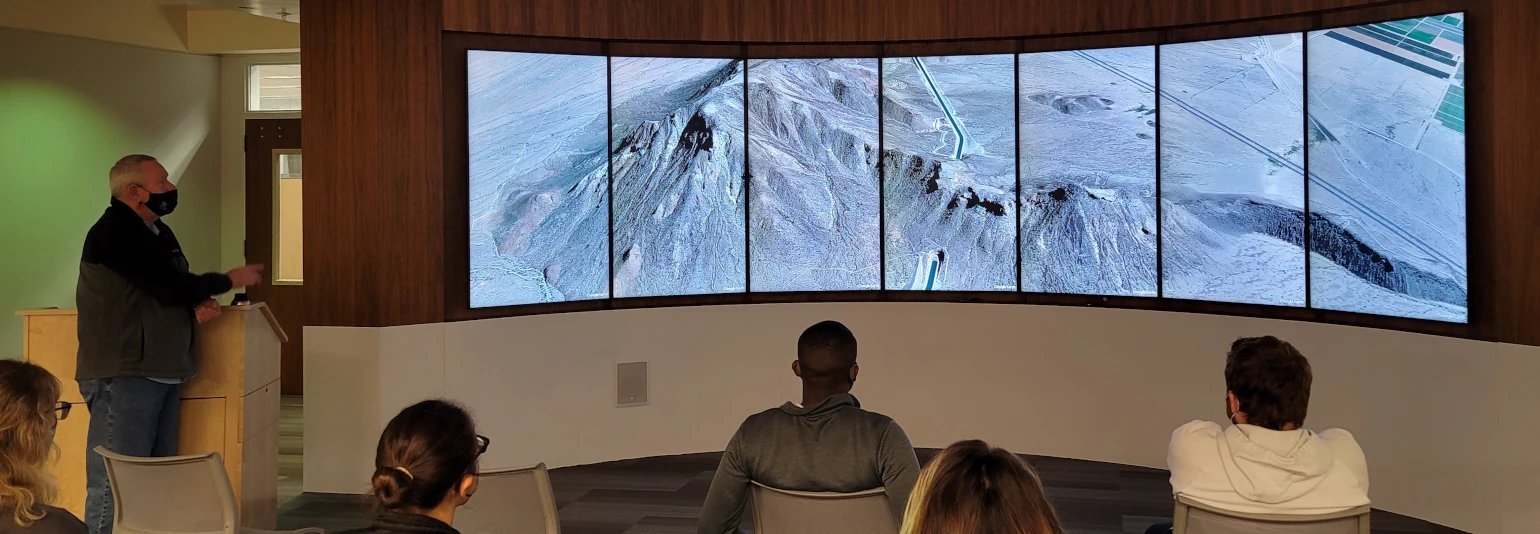
The department chose the Central Arizona Project to turn into an interactive presentation on the VisionPort platform.

Starting at the Mark Wilmer Pumping Plant, water is pumped from the Colorado River towards over a dozen plants and lifted up over 2,000 feet in elevation across a series of “stair-steps” before it reaches its final destination near Tucson, where it is then distributed across the state to where it is most needed.
This data displayed on their VisionPort, installed in a custom wood case in their library, allows students to see the entire journey in a 3D environment spanning seven 65-inch displays. The presenter can take them to each stop and explain the functions of the many plants, check gates, and turnouts along the way.

Numerous departments at Auburn University have had success turning their presentations into engaging experiences on the VisionPort platform and I look forward to seeing and reporting on what their students and faculty do next.
For more information about VisionPort, email sales@visionport.com or visit www.visionport.com.

Comments